Yozo Kudo estimated the Kitaibaraki simulated atomic bomb impact site at 36°48′54″N, 140°44′41″E. Kudo is a leading researcher of air raids using U.S. military records and has written extensively on air raids during the Pacific War. He also serves the national liaison council of groups recording air raids and war damage, edits and publishes its newsletter Kushu Tsushin, and compiles a list of simulated atomic bomb sites.
The land parcel containing the site is 2368 Irioosawa, Isohara-machi, Kitaibaraki, Ibaraki Prefecture. As of March 19, 2021, a large solar power plant called the Ibaraki Prefecture Kitaibaraki City Isohara-machi Extra-high-voltage Power Plant had been built there and was operating.
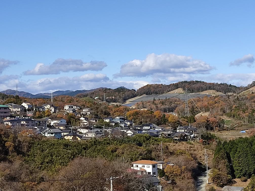
The area around the impact site has been leveled and solar panels installed. No trace of the crater remains. The site is private property within an operating solar power plant and is not open to people without authorization.
The presumed impact point is a short distance south of the southern end of the protected woodland retained within the power plant, and roughly 150 meters east of a nearby transmission tower. The area can be viewed from roads to the south, including the road connecting Kitaibaraki Interchange with the Futatsushima overpass.
The photograph shows the impact area viewed from higher ground to the south. The presumed site is near the center of the image.
Select the image to view it in a new tab.