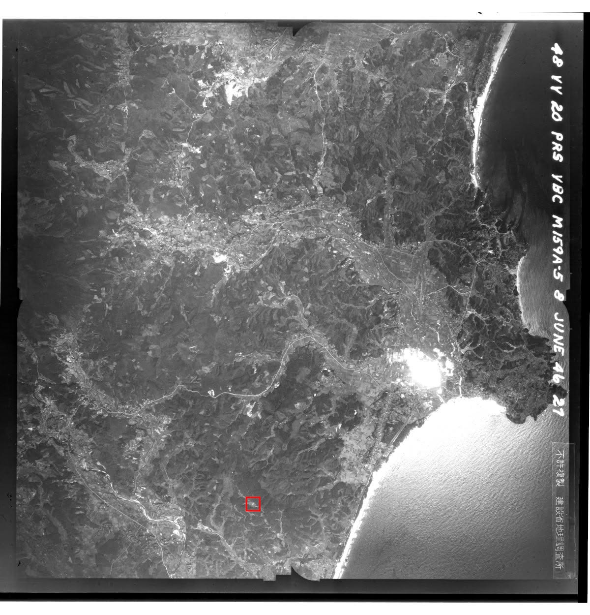
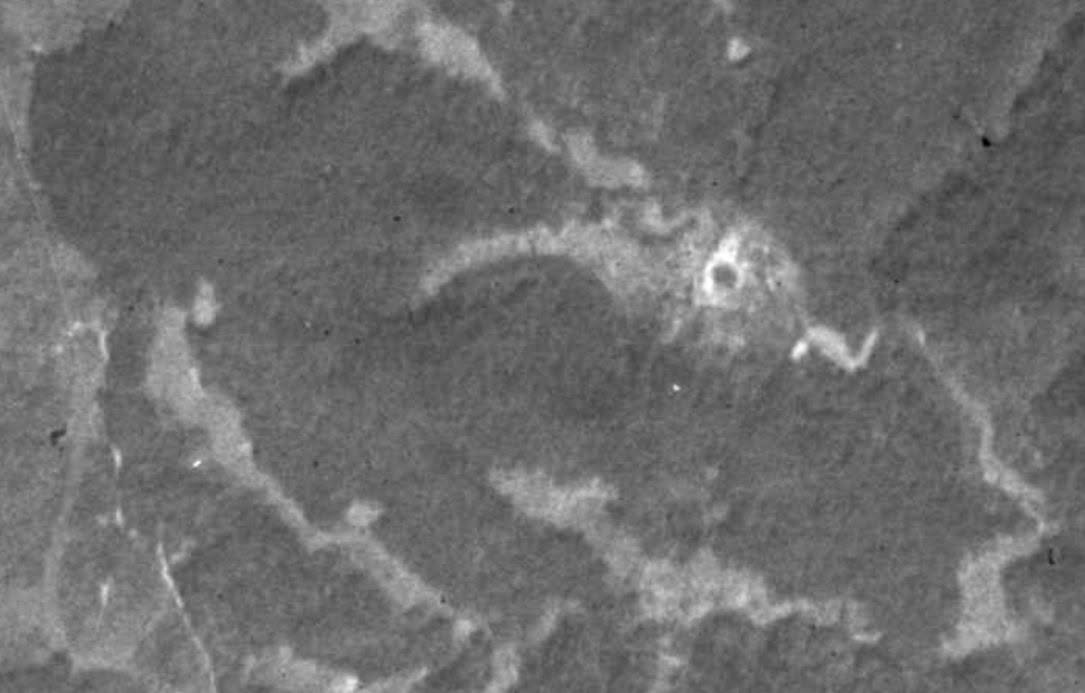
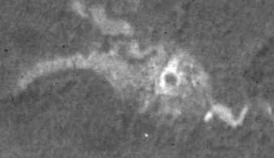
An apparent trace of the simulated atomic bomb crater can be seen in U.S. aerial photographs taken on June 8, 1946, available through the Geospatial Information Authority of Japan’s map and aerial photograph service (mapps.gsi.go.jp). It is the area inside the red box in the image below.
The feature appears in three photographs: numbers 47, 48 and 49 on flight course M159-A-5.
https://mapps.gsi.go.jp/maplibSearch.do?specificationId=158851
https://mapps.gsi.go.jp/maplibSearch.do?specificationId=158850
https://mapps.gsi.go.jp/maplibSearch.do?specificationId=158849
I purchased high-resolution versions from the Japan Map Center and showed them to Yozo Kudo, a leading researcher of air raids. He replied that the pattern resembled the remains of a simulated atomic bomb crater and, with a diameter of about 15 meters, was highly likely to mark such an impact. This was around late September 2020.
I found the feature by using the land parcel number to estimate the location on a cadastral map, memorizing the pattern of streams nearby, and systematically examining old aerial photographs. The trace was clearly visible only in these three photographs, the earliest available after the bombing. I am grateful to Shozo Kanazawa, of the family that owned the land at the time, for remembering the parcel information, and to local historian Kenichi Tan for passing it on to me.
Select the image to view it in a new tab.
Select the image to view it in a new tab.
Select the image to view it in a new tab.